
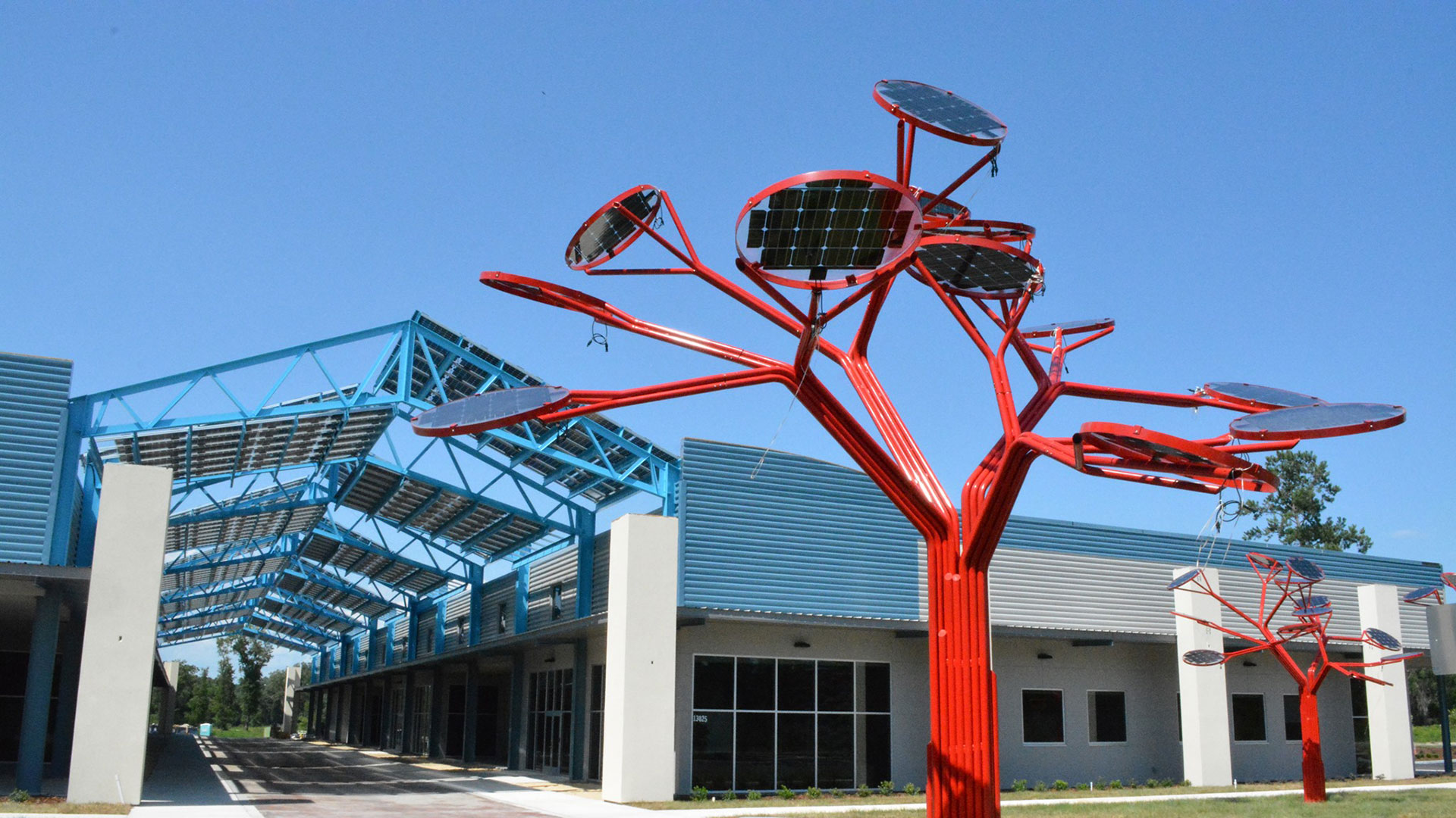
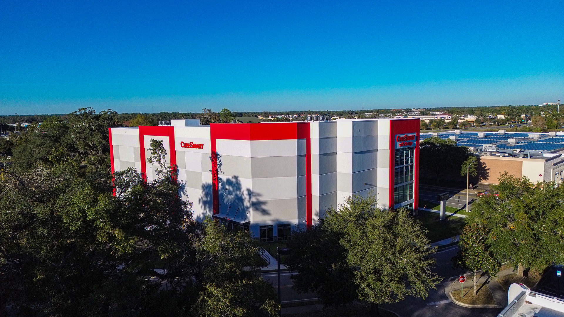
overview
Expert surveying & mapping solutions
For half a century, North Central Florida has put their trust in eda consultants, inc. to provide expert surveying & mapping solutions. Our survey team combines technical skill, local knowledge, and meticulous attention to detail to deliver accurate, dependable results. From researching records to applying the latest technology in the field, we provide surveys that give our clients confidence and a strong foundation for successful projects.
Schedule a consultation
approach

Solving your toughest challenges with advanced surveying
We specialize in transforming difficult site conditions and complicated projects into clear, actionable plans. Our multidisciplinary approach and advanced technology allow us to navigate complexities that others might find insurmountable.
Uncovering the Unseen
Our proven subsurface utility location program uses state-of-the-art Ground Penetrating Radar (GPR) and electronic detection equipment to pinpoint both metallic and non-metallic lines, including PVC pipes and abandoned utilities, preventing costly strikes and construction delays. This is crucial for making smart design decisions and protecting existing infrastructure.
Precision in Detail
With 3D laser scanning, we create extremely accurate and detailed representations of irregularly shaped or inaccessible structures, facilities, or utilities, accurate within 1 millimeter. This technology reduces errors, enhances worker safety by limiting time in hazardous areas, and streamlines design collaboration. It’s especially useful for documenting older infrastructure where original drawings may be outdated or missing.
Rapid Response for Emergencies
We are equipped to respond swiftly to urgent utility needs. Our ability to quickly assess and manage complex underground utility situations, even mobilizing multiple field teams and utilizing GPR on short notice to locate buried manholes feet below roadways, makes us a reliable partner during unexpected infrastructure failures.
core services
eda provides a full spectrum of surveying and mapping services, from foundational data collection to advanced geospatial analysis, all designed to deliver precise, reliable data you can depend on:
Land & Boundary Surveys
- Boundary/Property Line Surveys (record boundary determination, corner recovery/setting)
- ALTA/NSPS Land Title Surveys (with Optional Table A items as requested)
- Lot/Parcel Splits & Combinations (parcel maps, minor lot divisions)
- Legal Sketches & Descriptions (easements, right-of-way)
- Subdivision/Plat Surveys (preliminary & final plats, condominium plats)
- Cadastral/Sectional Surveys (GLO/PLSS retracement, corner records)
Topographic, Site & Design Support
- Topographic Surveys & Existing Conditions Mapping (for site/civil design)
- Engineering Design Surveys (roadway, utility, drainage, grading)
- Vertical & Horizontal Control Surveys (VVH) of critical underground utilities
- Tree/Vegetation Location Surveys (for site plans and permits)
- Hydrographic/Bank & Shoreline Topo Tie-ins
- Mining & Quarry Surveys (face mapping, volumetrics)
Construction Services
- Construction Staking/Layout (buildings, roads, utilities, curb & gutter, grade stakes)
- As-Built/Record Surveys (utilities, structures, sitework, pavement)
- Industrial/Plant As-Builts (pipe racks, equipment pads)
- Quantity/Volume Surveys (earthwork stockpiles & pay quantities)
- Project Control Networks & QA/QC Checks
Elevation, FEMA & Floodplain
- FEMA Flood Zone Determination
- FEMA Elevation Certificates (NFIP-compliant ECs; residential & commercial)
- LOMA/LOMR Support Surveys
- Coastal/Waterfront Elevation & V-Zone/Coastal A-Zone field data
Utility & Subsurface (SUE)
- Utility Research & Mapping (QL-D/QL-C records & visible features)
- Geophysical Utility Designating (QL-B) and Vacuum Test Holes/Locating (QL-A) per ASCE 38-22
- Utility As-Built & Conflict Surveys; Utility Coordination
Remote Sensing, LiDAR & Reality Capture
- Terrestrial 3D Laser Scanning (as-built modeling, BIM)
- Reality Capture to BIM/Revit/IFC; Scan-to-CAD Deliverables
Geodetic Control & Monitoring
- Horizontal/Vertical Control (GNSS, total station, digital leveling)
- Deformation/Settlement Monitoring (buildings, bridges, walls, dams)
- Vibration & Movement Monitoring (survey-based)
Transportation, Energy & Corridor
- FDOT-prequalified in Group 8 - Survey and Mapping, subsection 8.2 - Design, Right of Way & Construction Surveying
- Route/Alignment Surveys (roadway, rail, transit)
- Annual Runway Approach Surfaces Observation & FAA Form 5010 Update
- Update magnetic headings on runways and compass rose
Mapping, GIS & Data Services
- GIS Data Collection & Asset Mapping
- Utility/Infrastructure GIS (schemas, attribution, migration)
- Cartography & Exhibit Mapping (entitlements, public meetings)
- CAD Standards & Drawing Production (Civil 3D/MicroStation)
Water Resources & Environmental Support
- Wetland Flag Location/Environmental Constraint Surveys (per consultant flags)
- Stream, Shoreline & Erosion Monitoring; Outfall Inventories
- Storm/Sanitary Condition Surveys & Invert Shots
projects


THE eda DIFFERENCE
01
Seasoned professionals
Our surveying department is led by licensed Professional Surveyors and Mappers with more than 80 years of combined experience. Each survey meets Florida’s strict standards and delivers precise, professional, and reliable results.
02
Decades of data, decades of accuracy
For 50 years, we’ve built an extensive in-house record library across Gainesville and Alachua County—giving us a unique advantage in delivering accurate, efficient surveys with less uncertainty.
03
Integrated expertise, seamless execution
As a multidisciplinary firm, eda brings civil engineering, surveying, and land planning together—streamlining coordination, reducing conflicts, and delivering accurate, timely results.
04
A legacy of local commitment
For 50 years, our Gainesville-based team has taken a hands-on, local approach—building long-standing partnerships that reflect our commitment to North Central Florida.
Popular deliverables & file formats
- Plats & Legal Descriptions; Mylar/Record Drawings
- CAD: DWG/DGN; Surfaces & Alignments (TIN/LandXML)
- GIS: File GDB/Shapefiles
- Point Clouds: LAS/LAZ/E57; Mesh/OBJ
- Orthomosaics & Elevation Models: GeoTIFF
- Certified Survey Reports & Metadata
faqs
What is the difference between a boundary survey and a topographic survey?
A boundary survey defines the legal limits of a property, showing property lines, easements, and existing structures. A topographic survey shows the elevation and location of both natural and man-made features, like buildings, trees, utility lines, and roads. Both types of surveys provide essential information when developing a property. If you’re not sure what type of survey you need, eda can help make that determination.
Why is surveying important before starting construction?
Accurate surveying prevents costly mistakes by identifying property boundaries, underground utilities, elevation changes, and other site details needed for safe, compliant construction.
How long does a land survey typically take in Florida?
The timeline depends on property size, terrain, and project complexity. Most residential surveys take a few days once field work begins, while large commercial or municipal projects may require several weeks.
Because our survey team is in high demand, scheduling often books out several months in advance—so we encourage clients to reach out early in their project planning.